
AS-BUILT PHOTOGRAPHIC CONSTRUCTION DOCUMENTATION
PLOTTED & LINKED TO PROJECT DRAWINGS
ENHANCE PRODUCTIVITY & RISK MANAGEMENT
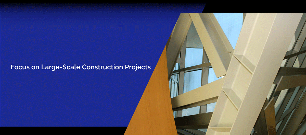
Vantage Point Global’s proprietary software, vpDiscovery, provides a single source solution to visually inspect and monitor complex construction projects; with ease in remote accessibility. By combining webcam live feeds with inspection grade digital, video, aerial and drone photography we have designed an interactive software that will put thousands of real-time and historical visual records into the hands of the project teams within seconds. With multiple levels of security, our visual data can be shared by approved users, both internally and externally, with tiered privileges. Owners, contractors, design teams, and inspectors utilize our tools to promote transparency and rapid communication channels. Our feature rich navigation tools include visual direct email, annotation graphics, printing, report integration, measurement and batch download productivity.

Immediate Access to Buried Utilities
Geo-mapped, DWGS plotted, time and date stamped construction VISUAL as-builts of physical assets:
Underground — Under Slab — In-Wall — In-Ceiling
Routine Visual As-Builts
Immediate access to time, date and location stamped as-built visuals that were collected before knowledge of historical visual record was needed


Conflict Resolution &
Project Wide Risk Management
Irrevocable visual records to substantiate design change, trade damage, and time-sensitive delay impacts.
Communication Tools
Capability to download, annotate atop of, email and document attach visual documentation with single stroke clicks for efficiency and time-saving workflow.


Simple Navigation
vpDiscovery enables you to see a time and location sequence of images of the same point side-by-side over the entire duration of the building processes
Return on Investment
Client ROI is in the hundreds of MILLIONS of dollars to date, with thousands of REDUCES manhours recorded per project!

CLICK IMAGES BELOW FOR ADDITIONAL VISUAL RECORD SAMPLES

Visual Access to Covered Assets

Pre-Con Existing Condition Surveys

Construction Progress Photography

Underground Geo-Visual Maps
| COLLECTION TYPE |
Description of Services |
| Overall Project | Project will be photographed at a frequency to fulfill requirements below through Period of Performance. All photographs will be attached to the associated electronic drawings. Each photo-shoot will be available for viewing within 48 hours unless otherwise agreed upon. Customer will assist in determining vantage points locations within the guidelines below. |
| Preconstruction Survey/Existing Conditions | Photographic survey conducted to document existing conditions of adjoining structures and site areas, to include roads, sidewalks, buildings, landscape, etc. Existing structure including pre-post demolition, unforeseen conditions, existing MEP and structural elements, sprinkler, and “non-code compliant” discoveries. Existing conditions can also include aerial photography; see aerial cost itemized below. |
| Site Detail | Site photographed prior to prep to show location and proximity to adjoining structures. Once excavation is complete focus is on underground retention, drainage, support column and pad work. Logistical/lay down areas. Access/Egress routes. Logistical Constraints. |
| Underground | Captures the cabling, communications and conduit entering and exiting the buildings and between buildings. All underground plumbing and electrical conduit will be photographed. Slurry Wall, drainage routes. |
| Pre-slab | Slabs are photographed just prior to the slab-pour to capture rebar placement/reinforcement, underground conduit and other in-floor systems, penetration placement, etc. |
| Exterior | Comprehensive views of the exterior from grade, to include detail of doors, curtain wall and other possible intrusion areas; taken monthly until completion of exterior finishes. |
| Interior / Structural | Once architectural plan framing begins, detailed digital images capture all accessible walls throughout the project with focus on mechanical, electric, plumbing and insulation benchmark dates. |
| Interior Ceiling | Once substantial framing is completed, detailed digital images capture all accessible ceilings throughout the project allowing intimate access to mechanical, electrical, plumbing, fire stopping, waterproofing and insulation elements. LEED compliance efforts are captured. Final finish and punch-list compliant captured. |
| Aerial | N/ S/ E/ W/ NE/ NW/ SE/ and SW Facing Digital High Resolution Permanent Photographic Document to be taken in the last week of each month for the duration the ongoing construction progress at the specified site. Each image will be catalogued onto the Vantage Point Global software interface within 48 hours |


PHONE: 424-443-9991
EMAIL: Please use the form
Visual Documentation Services & Mapping Software Licensing available Nationwide/Worldwide


